
West Memphis ZIP Coverage
Two codes have distinct, verified roles in West Memphis. The standard street-delivery code covers principal city street and business delivery. The second is tied to post-office boxes at the same postal facility and should not be drawn as a residential neighborhood. The West Memphis ZIP code directory therefore starts with function, not a guessed boundary polygon.
| ZIP | Areas Covered | Post Office | Notes |
|---|---|---|---|
| 72301 | Principal West Memphis street delivery and businesses | West Memphis Post Office, 615 E. Cooper Ave. | Standard delivery geography; not the same as a legal city boundary |
| 72303 | West Memphis post-office boxes and mailing use | Same West Memphis postal facility | Not a residential neighborhood polygon; City Hall uses P.O. Box 1728 |
Research did not verify other unique or ZIP-only codes, a published realignment year, official neighborhood coverage names, per-ZIP population, or an authoritative boundary polygon. City-level population context belongs to Census QuickFacts, not a made-up ZIP estimate. The main facility telephone is 870-735-4139. Published retail hours are Monday through Friday, 8:30 a.m. to 5 p.m., and Saturday, 9 a.m. to noon; box access is listed around the clock.
Verify West Memphis ZIP Codes
Use the USPS city and state ZIP lookup to verify postal data rather than assigning a code from “West Memphis” alone.
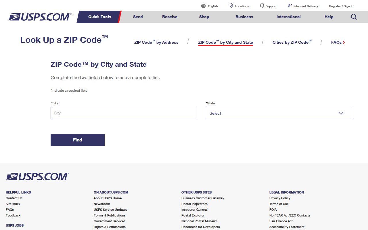
The captured USPS interface is the official starting point for postal validation, but a city-state result does not establish who resides at an address.
| Field | Input Type | Required | Use |
|---|---|---|---|
| City | Text | Yes | Enter West Memphis |
| State | Selection | Yes | Select Arkansas |
| ZIP result | Returned value | Not an input | Confirms postal codes associated with the city-state query |
For one full street address, use the USPS address lookup rather than relying only on the city-state list. If the tool fails or the address is new, call or visit the post office. Postal staff can resolve mailing format, while Planning or the assessor handles site and parcel questions.
West Memphis Postal Facility
The physical West Memphis Post Office is at 615 E. Cooper Ave., West Memphis, AR 72301-9998. It serves both the standard delivery role and the city’s PO-box role. This is the core local quirk: the box code and the physical street code can point to the same postal facility while describing different kinds of delivery.
The USPS location detail provides the official facility record and contact route.
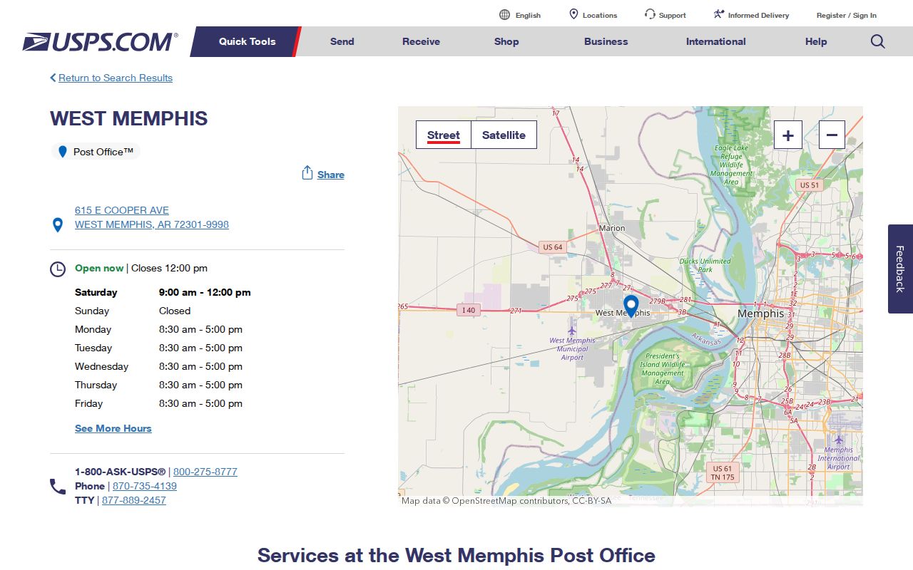
The facility page helps confirm where to ask about delivery, retail, and box service. It does not turn a box number into a dwelling or parcel.
Key distinction: 72303 signals a West Memphis PO-box mailing role. It must not be used as proof that a home sits inside a 72303 residential zone.
Why Two City ZIPs Appear
West Memphis government pages demonstrate why address type matters. City Hall’s mailing address uses P.O. Box 1728 with 72303. A Planning page shows the same box with 72301, while physical service pages use local street addresses. That official inconsistency is a reason to verify each address, not a basis for inventing a ZIP split.
When a city form and USPS differ, preserve both citations and ask the issuing office which address it currently requires. A dated government page may contain a stale postal line. For a records request, use the custodian’s present instructions. For delivery, use USPS validation. For parcel research, use the situs address and parcel ID.
This comparison also prevents a common false match. A name beside a 72303 box may be tied to mail collection, an agency account, or an entity’s chosen mailing point. It does not put that name on a residential parcel. A 72301 situs can establish where a taxed parcel lies, but it still identifies an owner record rather than every occupant. Keep the source date and field label with each result so later checks do not merge postal and land facts.
Note: No authoritative West Memphis ZIP realignment date or full postal boundary polygon was found in the reviewed official sources.
West Memphis ZIP Address Types
The same person or entity may have several valid address fields. They answer different questions. Mixing them can place a tax notice, a building, and a postal box in one false location.
- ZIP code
- A USPS routing area for mail delivery. It is not a municipal boundary or a list of residents.
- ZIP+4
- A more precise USPS routing code that may narrow delivery to a segment, building, firm, or box group.
- PO-box ZIP
- A code serving post-office boxes. It does not describe the physical location of each box holder.
- Unique ZIP
- A code assigned to one high-volume recipient. No unique West Memphis ZIP was verified.
- Carrier route
- A mail-delivery path. It may cross local administrative lines and is not a household roll.
A situs address is the parcel’s physical location. An owner mailing address is where tax notices go. A legal description identifies the land through a subdivision, lot, block, or metes-and-bounds description. These fields should stay separate in any West Memphis ZIP code directory notes.
Map West Memphis ZIP Parcels
The Arkansas GIS Office cadastral layer publishes approximate parcel centroids and assessor-related fields. Its schema includes AdrCity and AdrZip5, plus separated situs number, direction, street, type, and suffix fields. A query can select 72301 parcel centroids, but the service caps a query at 200 records. It cannot map 72303 boxes as residential sites.
| Field | Meaning | ZIP Research Use | Limit |
|---|---|---|---|
| AdrZip5 | Five-digit situs ZIP in the cadastral schema | Filter parcel centroids associated with 72301 | Not a verified ZIP boundary |
| AdrCity | Situs city label | Compare city label with the ZIP value | Postal labels can differ from city limits |
| AdrLabel | Combined situs label | Check street form before county search | Not an owner mailing address |
| ParcelId | Parcel identifier | Bridge from map result to assessor work | Exact Crittenden number grammar was not documented |
The geometry is an approximate tax-parcel representation, not a surveyed legal boundary. State publication is scheduled semiannually, while county production may update more often. Check the live county result before relying on a mailing address or current ownership field.
If the map service reaches its query cap, narrow by a street segment or other lawful attribute instead of treating the first page as the whole ZIP. The Crittenden County Assessor at 250 Pine St., Suite 1, Marion, provides the counter fallback and can be reached at 870-739-3606 during published weekday office hours. Ask for a parcel card or adjoining parcel IDs tied to a stated parcel. Staff, not a guessed postal edge, can route a land-record question.
West Memphis ZIP Lookup Workflow
No reviewed West Memphis portal exposed a verified, unlimited search that returns all residents across a ZIP. ARCountyData ZIP-filter behavior could not be inspected. A valid workflow narrows the geography without claiming a ZIP-wide people directory.
- Verify the full postal address with USPS. Mark whether the result is a physical delivery point or a post-office box.
- For a physical site, search the Crittenden County assessor by situs address. Copy the parcel number, owner name, mailing address, and legal description.
- Use the state cadastral AdrZip5 field for limited parcel-centroid queries. Respect the 200-record cap and do not treat centroids as surveyed ZIP lines.
- For voter evidence, use VoterView only for an individual’s own identity-based verification. Ask the County Clerk or Secretary of State about a lawful public-file request and protected fields.
- When the address and ZIP disagree, return to USPS for mail, Planning for city addressing, and the assessor or parcel ID for land records.
Once the ZIP has narrowed the search to a specific street, the West Memphis streets workflow handles parcels and address-keyed records. It should not be replaced by a broad ZIP assumption.
ZIP Filters and Voter Records
Arkansas VoterView is an identity-based check that requires first name, last name, date of birth, and county. It can confirm registration status, polling place, precinct, districts, and election information after the registrant supplies the required details. It is not a browseable street roll or ZIP directory.
The Arkansas voter information page is the official route for current election guidance.
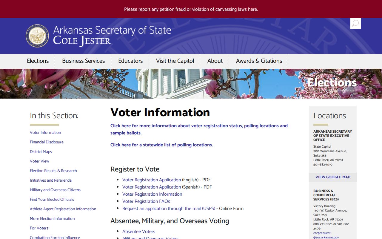
The captured state page supports registration and access guidance, while any larger voter-list request remains a separate statutory process through the custodian.
A statewide data-request form has described voter-registration and voting-history datasets, including residential and mailing address fields where lawful. Voting history means participation, never ballot choice. Protected identity fields and protected addresses must be withheld. The research did not verify a current ZIP-select interface, fee, layout, or block-level option. Contact the Crittenden County Clerk in Marion or Voter Services before planning any extract.
ZIP Lines Versus City Limits
A ZIP code is a delivery construct. West Memphis city limits, Crittenden County boundaries, planning jurisdiction, precincts, school zones, and parcel lines are separate systems. City subdivision rules can also reach certain unincorporated territory within five miles. A postal place name therefore cannot answer whether a parcel is incorporated, taxed by a given body, or subject to a city action.
The city’s community resources directory illustrates local service contacts that may help route a question.
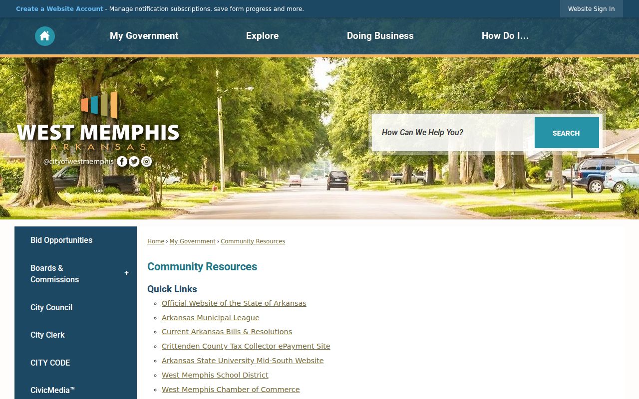
The city resource layer is useful for finding the right department, but it does not publish a resident list or settle the edge of a postal zone.
County Court annexation and road-vacancy orders provide the official boundary-history trail. Planning and Engineering administer city address work, but the exact E911 assigning authority and formal readdressing process were not located. Search directional prefixes, street types, and old labels separately. When ZIP data fails, the parcel number and legal description are the stronger bridge.
Privacy limit: Use address and ZIP records only for lawful personal research. Do not publish protected locations or use a postal clue to harass anyone.