
Walk West Memphis Streets
A useful street-by-street search separates ownership from occupancy. Begin with one normalized situs address, the physical place assigned to a parcel. The Crittenden County property roll can supply an owner, parcel number, tax-mail address, legal description, and sometimes a deed reference. Those facts establish a parcel and the name on the assessment roll. They do not establish every person who lives there. That distinction is vital on a street with rented homes, business property, vacant land, or multi-unit buildings.
Use the West Memphis street directory in a fixed order. Save each source date because rolls change. Keep the owner name exactly as shown, including a trust or company suffix, and record the address form used by the source.
- Search the situs address in the county property system. Copy the parcel ID, owner, mailing address, legal description, and any sale or deed reference.
- Open the parcel map or state cadastral layer. Select the next parcel by its ID instead of guessing the next house number.
- Take the owner and legal description to the Circuit Clerk. Find the acquisition deed, then follow its grantor backward if prior ownership matters.
- Check city permit and elevation files by the same site address. Treat applicants and contractors as project parties, not presumed residents.
- Use a lawful voter-file request or a historical reverse directory only for the question each source can answer. VoterView itself is not a street-browse tool.
This sequence turns an address into a set of checkable record keys. It also shows where the evidence stops. When the goal is one named person rather than a whole road, the West Memphis resident lookup keeps that narrower search from being confused with a street survey.
Search West Memphis Parcel Records
The Crittenden County ARCountyData real-estate search is the main online start for current parcel work. The assessor also offers counter help at 250 Pine Street, Suite 1, in Marion, and by telephone at 870-739-3606. Search access is generally free. Historical snapshots, a public deed cutoff, and some live interface labels were not verified, so the property card should be read as a current roll rather than a complete address history.
| Portal field | Control | Required | Useful search form |
|---|---|---|---|
| Search type | Tabs or modes | One mode | Real estate, with owner, parcel, or address conventions |
| Name | Text | No | Surname first; retry entity names without punctuation |
| Parcel Number | Text | No | Copy the county identifier from a parcel card |
| Address | Text | No | Situs address; omit direction or suffix if an exact form fails |
| Search | Button | Yes | Runs the selected criteria |
A typical result can show owner name, owner mailing address, parcel number, situs, legal description, subdivision, lot and block, values, tax year, property class, and a map link. Sale or deed references may appear when populated. The official Crittenden County Assessor page shows the office channel and its real-estate link.

The captured assessor page confirms where a West Memphis address search should begin when the vendor portal is unavailable or an owner record needs staff help.
West Memphis Parcel Map Entry
The ARCountyData parcel and map entry point is the broader source behind the county search path.

This captured entry screen reinforces the two-stage method: identify the exact Crittenden parcel first, then use its map link and parcel ID for street-by-street work.
Read West Memphis GIS Streets
The county-sponsored system supplies a map path, while the Arkansas GIS Office maps provide a statewide geographic entry point. Use the map to move from one known parcel toward the next. Do not assume house numbers are consecutive. Irregular lots, corner parcels, vacant tracts, and one parcel serving many units can break that pattern.
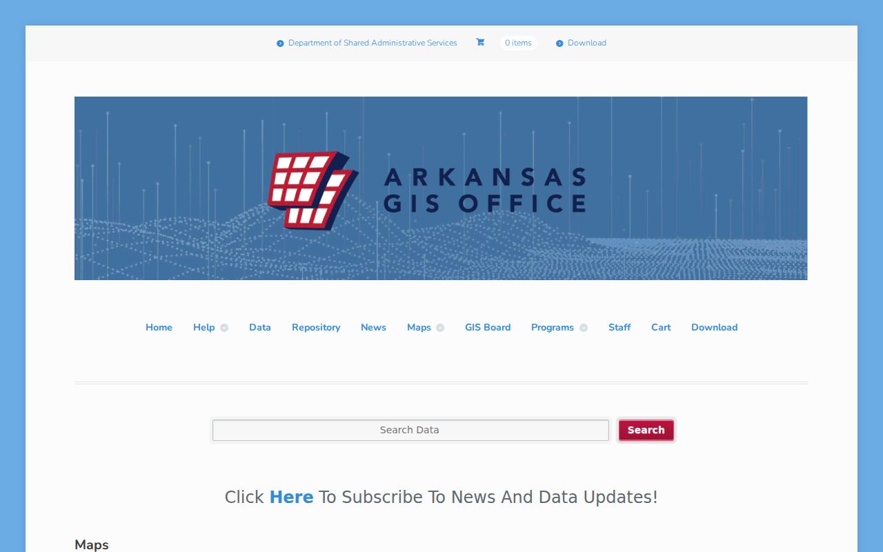
The state map view adds spatial context, but a distinct county GIS interface with verified buffer, measure, and layer controls was not found. The assessor counter remains the fallback for adjoining parcel IDs.
The more exact Arkansas cadastral layer description lists parcel ID, legal description, source date, owner name, separate situs-number and street fields, city, five-digit ZIP, value fields, subdivision, neighborhood, township, range, tax area, and geometry.
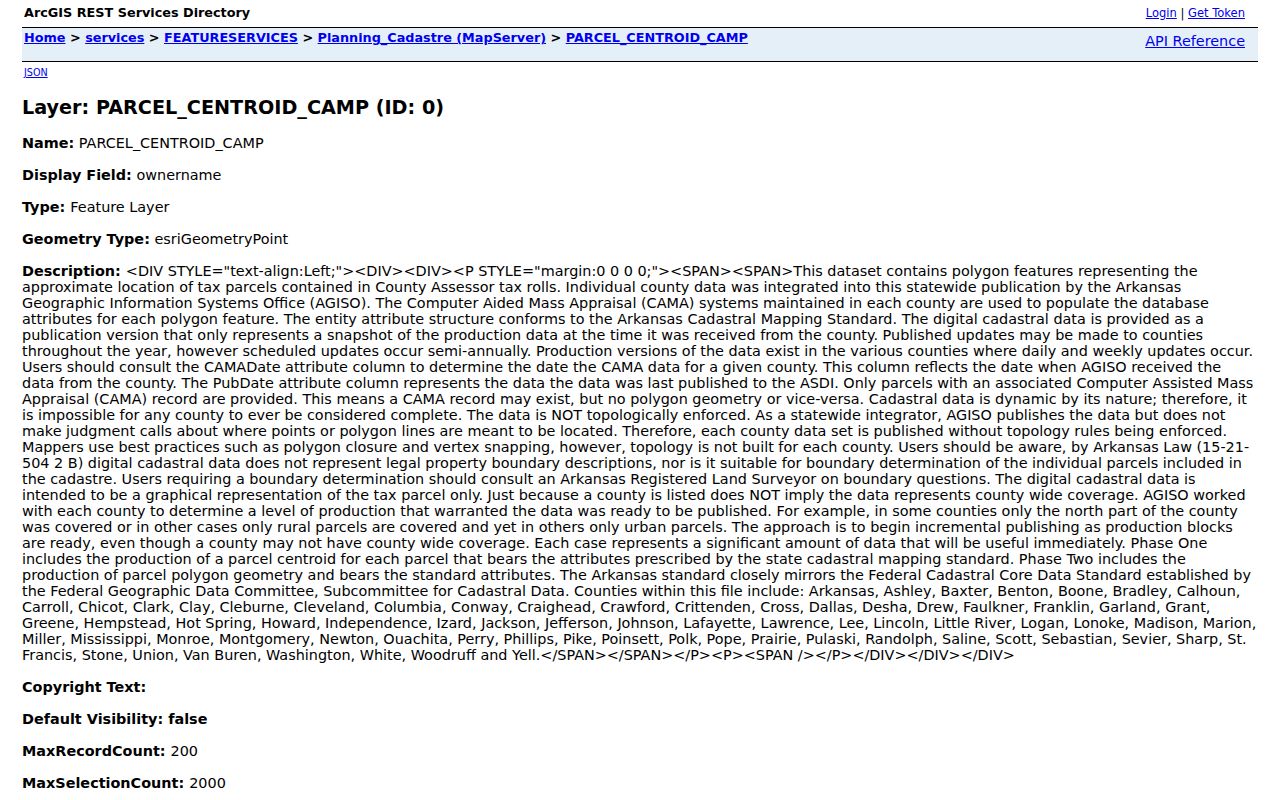
The layer permits attribute and distance queries, but it is read-only and capped at 200 records per query and 2,000 selections. Its parcel centroids are approximate tax representations, not surveyed boundaries.
West Memphis Street Record Coverage
No West Memphis address-directory source is complete by itself. The parcel number connects the tax roll to the mapped site. A legal description links that parcel to deeds and plats. The street address then opens city files and, where available, historical sources. Each keeper offers a separate online, counter, telephone, or request path.
| Address record | Keeper | Evidence | Access channel |
|---|---|---|---|
| Parcel roll and card | Crittenden County Assessor | Owner, mailing and situs addresses, parcel, legal description, value | ARCountyData, office counter, or 870-739-3606 |
| Parcel geography | Assessor and Arkansas GIS Office | Nearby parcel IDs and approximate map context | County map path, state layer, or assessor request |
| Deeds, liens, and plats | Crittenden County Circuit Clerk | Parties, transfers, encumbrances, legal descriptions, dates | Index books and clerk counter; public web cutoff not located |
| Voter records | Crittenden County Clerk or Secretary of State | Lawfully released registration address fields | Formal file request; VoterView only for identity-based verification |
| Permits | West Memphis Planning | Site, project, applicant, contractor, dates, and status | Application portal or targeted Arkansas FOIA request |
| Elevation certificates | West Memphis City Engineer | Address, building, and flood-elevation facts | Office at 203 S. Avalon or 870-702-5109 |
| Reverse directory or census | Libraries, archives, and NARA | Historic occupant or household clues | Microfilm, catalog, reference request, or genealogy access |
The table is a coverage map, not a claim that all channels expose the same fields. Ask for an existing record with a narrow address and date range when the web stops. Arkansas FOIA does not require a custodian to create a new street report.
Note: Save the roll date and source date because a current owner, permit applicant, voter entry, and directory occupant may reflect different times.
Follow West Memphis Deed Records
The Crittenden County Circuit Clerk in Marion records deeds, mortgages, liens, and plats. A deed search is based on parties and record keys, not a browseable list of everyone on one road. Begin with the parcel owner and acquisition reference. On the deed, copy the grantor, grantee, record date, document or book-page number, and legal description. If the prior owner matters, search that grantor as a grantee in an earlier period.
The Circuit Clerk office page is the verified Crittenden source. No authoritative public county deed-search interface, coverage start, image fee, or current copy schedule was located. A link that appears to be a land search on the county recorder page points to another county, an important local quirk. Do not treat it as a Crittenden portal. Ask the clerk for the general grantor-grantee index and its current fee schedule, then request the cited instrument.
- Parcel
- A tract represented on the tax roll by a county identifier.
- Situs address
- The physical location of the taxed parcel, which can differ from the owner's mailing address.
- Plat
- A recorded drawing that organizes land into lots, blocks, roads, or other divisions.
- Criss-cross directory
- A directory section ordered by street and house number rather than by a person's surname.
Track West Memphis Permit Addresses
The West Memphis Planning and Development page links an interactive portal for permit applications, document uploads, and payment. A public permit-history search, its fields, and the archive start were not verified. That means an address-history request should name the existing fields sought: permit number, site address, owner, applicant, contractor, work type, valuation, issue date, final date, and status.

The captured city page shows the official access point. A permit can date work and name project parties, but it cannot prove that the owner, applicant, or contractor lived at the site.
For older or unavailable files, call Planning at 870-732-7520 or submit a focused Arkansas FOIA request. Ask for records already held, not a new report. Search the address with and without its directional and street-type suffix because indexing practices can vary.
West Memphis Flood Address Files
Floodplain context makes elevation certificates a useful, unusual part of a West Memphis by-address search. The city flood-information page directs elevation-certificate work to the City Engineer. The office is at 203 S. Avalon and the listed telephone is 870-702-5109. These files can connect a building and address to elevation facts and project context.
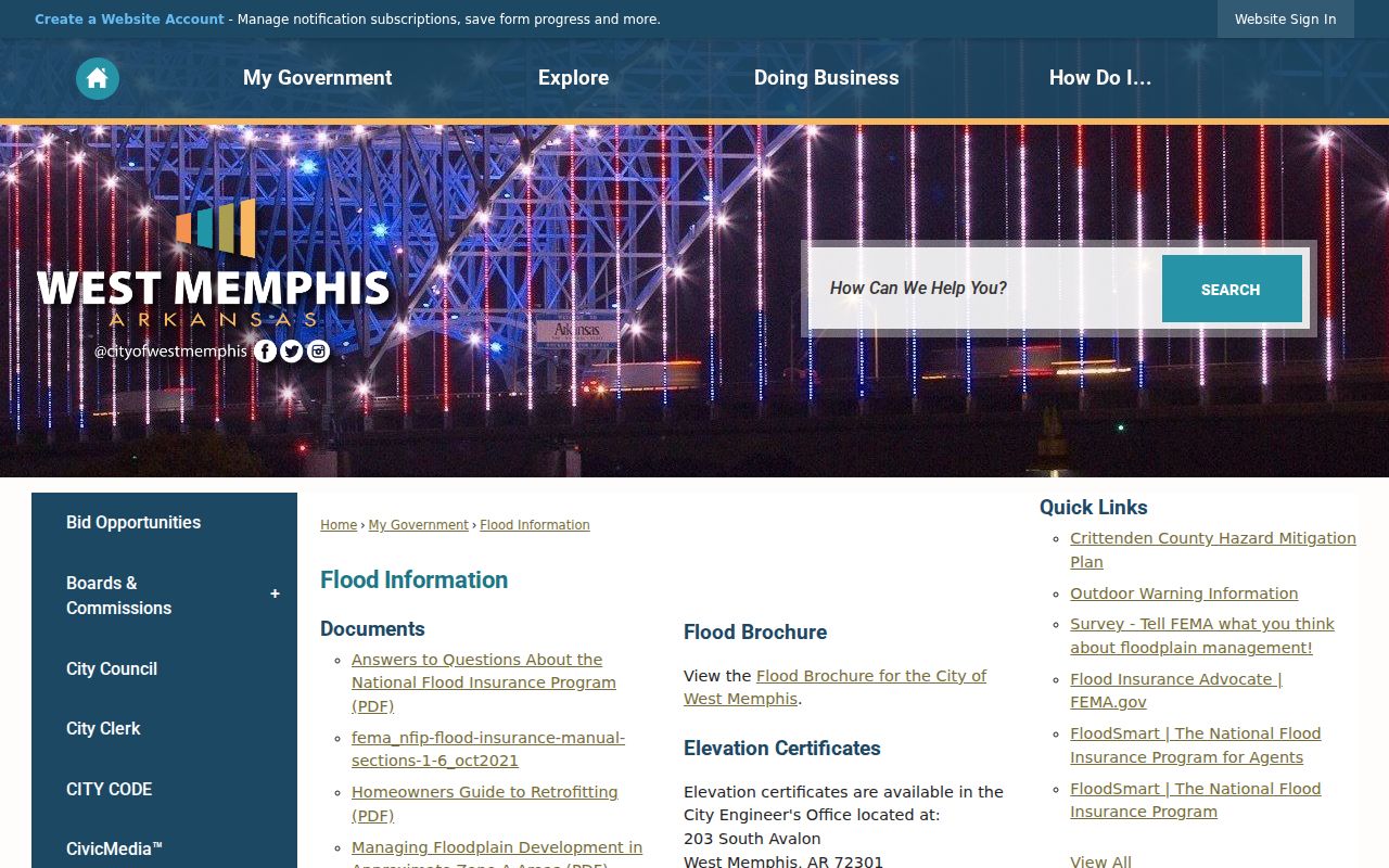
The image documents the local source. An elevation certificate is building evidence, not an occupant roll. Pair it with the parcel card for ownership and with permits for work dates rather than reading a personal residence into the certificate.
West Memphis Voter Street Limits
VoterView verifies one registrant after required identity details are supplied. It does not let a researcher browse every registrant on a West Memphis street. The form asks for first name, last name, date of birth, and county. A match may show registration status, an address as permitted, precinct, polling place, districts, and election links. It never reveals a ballot choice.
A formal voter-file request is a different access channel. Arkansas law governs the released fields and withholds protected data. The statewide request materials describe large electronic datasets, including residential and mailing address fields where lawful, but sensitive identifiers and protected addresses must not be released. Work through the Crittenden County Clerk or Secretary of State, state the lawful purpose, ask for current fields and delivery terms, and preserve the file date. Nonregistrants and protected people will not appear.
Identity tool, not street roll. VoterView confirms information for an authorized user; it cannot be repurposed as a public street-by-street index.
Reverse West Memphis Street Directories
A reverse or criss-cross section can add a named occupant or telephone subscriber who never appears as the deed owner. West Memphis directory reels for 1958 and 1960 are confirmed, but the research did not verify whether those volumes contain a reverse section. Historic-district work also cites directories spanning 1930 through 1960, yet that citation does not prove a complete run exists in one repository.
Call the West Memphis Public Library reference desk and ask for a shelf or reel inventory, the title page, abbreviation key, and reverse-section availability. The library offers reference help and interlibrary loan. The West Memphis city directory collections are the better place to study publishers and surviving volumes. For street work, copy only the entry tied to the target address and date, then compare it with the deed and census record.
Note: A missing directory entry can reflect omission, name change, a move, annexation, or an unverified change in street numbering.
Fix West Memphis Address Variants
Exact address spelling can defeat a sound search. Try the street name without a direction, then without its type suffix. Preserve apartment or unit information separately. Compare the parcel's street number, city, ZIP, legal description, subdivision, lot, and block. When an old address does not match the current parcel, use the legal description and plat as the bridge.
Street numbers are not safe historical constants, but no authoritative West Memphis renumbering year or street-renaming chronology was located. Do not invent one. County Court annexation and road-vacancy orders may document boundary or road changes, while permits and plats can preserve a prior form. The city and postal geographies also differ. A West Memphis PO box uses a different ZIP pattern than physical street delivery, and a mailing ZIP is not proof of a parcel's location.
Three Split Property Systems
Crittenden property tasks split across vendors. The assessor routes real-estate searching to ARCountyData, online assessment work to CountyService, and tax payments through the county collector access page. That fragmentation is a West Memphis quirk, not three versions of the same record. The assessor roll identifies and values a parcel. Assessment service handles a distinct filing task. The collector's system tracks tax status and payment.
The safest comparison is record purpose versus record date. A tax-payment screen cannot replace the parcel card, and neither replaces a recorded deed. Save the parcel ID across systems, then confirm the source and update date before treating two results as one current street record.
West Memphis Street Directory Limits
A West Memphis street directory built from official sources still cannot show every household. Parcel rolls are ownership records. A mailing-address match may suggest owner occupancy, but it does not prove it. Renters and family members may be absent. Multi-unit buildings may collapse into one parcel. Voter files omit nonregistrants and protected fields. Motor-vehicle addresses, utility customer data, sealed cases, juvenile and adoption material, and current restricted vital records do not become open because an address is known.
Use the result for family history, property research, civic questions, or a careful seller check. Verify living-person details with the custodian and respect a request not to make contact. Never publish a suspected confidential address or infer a relationship merely because two parcels are close.
Lawful use. West Memphis address records may be used only for lawful research. Arkansas harassment and stalking laws prohibit threatening, repeated, or targeted misuse.