
West Memphis Neighbor Record Map
An immediate-block search begins with land records, not a claimed household roster. The Crittenden County Assessor connects a parcel to its owner, situs address, mailing address, legal description, and roll values. A parcel map shows nearby tax geometry. Recorder, voter, planning, historical, and city files then answer narrower questions. Each source has a different access channel, and none proves every person present in a home.
| Source | What It Shows About a Block | Access |
|---|---|---|
| Assessor parcel cards | Owner, situs, mailing address, parcel, legal description | ARCountyData or Assessor counter |
| Parcel map | Lots sharing an edge or lying across a street | County map path or Assessor request |
| Recorder and plats | Transfers, liens, lot and subdivision context | Circuit Clerk index and books |
| Voter file | Lawfully released registration and address fields | Formal request; VoterView is not browseable |
| Permit and city files | Site work, applicants, contractors, dates, public actions | Planning portal, City WebLink, or FOIA request |
| Historical directories | Past occupant or subscriber if a reverse section survives | Library or microfilm follow-up |
Owner and occupant are not synonyms. A mailing address may differ from the situs, and a deed shows a transfer rather than continuous residence. Multi-unit buildings can place many West Memphis neighbors on one parcel. Treat the record map as a set of dated clues.
Map West Memphis Neighbor Parcels
Start with a known situs address. Search the county-sponsored property system, copy its parcel identifier, and open the available map path. The research did not verify a distinct Crittenden viewer with a public buffer button, measure tool, or stable layer list. When the online map lacks those controls, call or visit the Assessor at 250 Pine Street, Suite 1, Marion, and ask for the target parcel map plus adjoining parcel IDs.
- Find the target address and copy its parcel number and legal description.
- Mark parcels that share a boundary separately from those across the street.
- Open each nearby parcel card by identifier rather than guessing its address.
- Compare situs and owner mailing addresses without claiming owner occupancy.
- Use plats or deeds only when a lot boundary or ownership path needs support.
A boundary-sharing parcel is an adjoining lot. A parcel across the road is nearby but not adjoining. Irregular lots, alleys, commercial tracts, and multi-unit sites shape which neighbors are truly adjacent. For a whole named road rather than one small radius, use the West Memphis street directory workflow.
West Memphis Neighbor Parcel Limits
The Arkansas GIS Office cadastral layer offers a second way to inspect West Memphis parcel centroids and attributes. A cadastral layer is a tax-parcel map dataset. Its fields include parcel ID, legal description, owner name, separated situs-address parts, ZIP, subdivision, neighborhood code, assessment values, data source dates, and geometry. Attribute and distance queries can help collect nearby records.
The layer is read-only, caps standard queries and selections, and represents approximate tax geometry rather than surveyed legal boundaries. It also lacks the owner mailing address in its statewide schema. Use its parcel IDs to return to the county roll. If a property line matters, consult the recorded plat, deed description, or a qualified survey source rather than treating a map pixel as a boundary.
Note: West Memphis parcel centroids help organize a block search, but they do not prove where a person stands, sleeps, or receives mail.
West Memphis Neighbor Voter Limits
VoterView verifies one registrant after first name, last name, birth date, and Crittenden County are supplied. It is not a reverse directory and cannot be browsed down a West Memphis block. A formal voter-list request is a separate process governed by Arkansas law and redaction rules. Released voting history means participation, never ballot choice.
The statewide data form describes registration and history datasets, including a combined file too large for ordinary spreadsheet limits. That size is a useful warning: a county or state file must be narrowed lawfully and handled with care. Neighbors who are not registered do not appear. Status is time-stamped, and protected fields must be withheld. A no-match can reflect spelling, timing, cancellation, or redaction rather than a vacant address.
The Crittenden County Clerk is the local election custodian. Ask for the current form, permitted use statement, fields, medium, update date, and geography. Do not substitute VoterView for that formal channel.
West Memphis Neighbor Block Files
Block context often appears in city records that do not identify every resident. West Memphis Planning accepts permit applications and supporting documents, while a targeted request can seek an existing permit history by site address, owner or applicant, contractor, work type, issue date, final date, and status. The research did not verify a public permit-history search or its coverage start, so the planning desk and Arkansas FOIA are the documented fallbacks.
The West Memphis City WebLink repository can be searched for ordinances, resolutions, minutes, and administrative documents tied to a block.
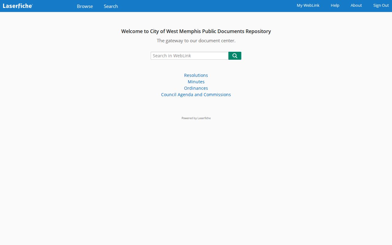
The capture illustrates an official civic-record source, not a household directory of neighbors. Search a street and a person separately because document titles and scanned text may vary.
The city licenses and taxes page documents local privilege, dog, taxi, yard-sale, contractor, and alcohol-related series.

Where releasable, a dated license record may connect an applicant or business to an address, but private identifying fields can be redacted.
River Context Around Neighbors
West Memphis sits beside the Mississippi River, so flood and elevation records add unusual building context to a block. The city flood information office routes elevation certificates to the City Engineer at 203 South Avalon. A certificate can tie an address or structure to elevation facts. It does not identify occupants.
Subdivision plats at the Crittenden County Circuit Clerk can show lot, block, easement, and recorded subdivision layout. Permits may date work, while the parcel card supplies current assessed facts. Together, these sources help explain why neighboring lots differ in shape, access, or recorded use without turning a block search into a claim about private life.
West Memphis city limits, postal labels, and the county's planning geography are different layers. Use the legal description and parcel ID when a street label or ZIP causes a mismatch.
West Memphis Neighbor Community Contacts
No authoritative citywide inventory of West Memphis neighborhood associations, block watches, congregation rosters, or public member directories was located. The official community-resources material lists civic services, and Main Street West Memphis publishes an organizational board rather than a household roster. Those are contact channels, not proof that members live on a target block.
| Community source | What it can provide | What it cannot prove |
|---|---|---|
| City Clerk | Public minutes, board records, city requests | A neighborhood membership list |
| City community resources | Published service and civic contacts | Residence of every contact |
| Main Street West Memphis | Organizational leadership and downtown activity | A block household roster |
| Library reference desk | Catalog, local history, interlibrary-loan help | Unverified private association files |
Ask an organization for its public officer or general contact. Do not request private members, infer boundaries from social media, or treat an affiliation as residence among West Memphis neighbors. The gap is real and should remain visible.
The official Crittenden County Clerk page is the documented contact for elections, marriage, probate, and county administrative records.
Its office role supports lawful record requests, but it does not create a neighborhood association directory.
Official Versus Commercial Neighbor Tools
Official sources and commercial compilation tools serve different roles. A county parcel card has a custodian, roll date, parcel number, and defined fields. A commercial neighbor result may blend public and nonpublic fragments, use an unclear update date, merge same-name people, or place an old address beside a current one. Neither source should be read beyond what it actually states.
| Category | Strength | Limit |
|---|---|---|
| Official parcel and deed records | Traceable custodian and record identifiers | Ownership is not occupancy |
| Official voter access | Defined law, fields, and redactions | Not a complete block population |
| Official city files | Dated permits, minutes, or licenses | Only people tied to that public action |
| Commercial compilation category | May offer a preliminary name lead | Unverified, stale, merged, or fee-based |
Verify a commercial neighbor lead at the assessor, clerk, court, or city office. Never let a compiled profile override a newer official record or a privacy restriction.
West Memphis Neighbor Request Fallback
When a parcel map, permit page, or WebLink search fails, request an existing record from its custodian. The Assessor can supply parcel cards and adjoining IDs by counter or phone. The Circuit Clerk can locate deeds and plats from names, dates, book and page, or legal descriptions. Planning can address permit files, and the City Clerk can handle city administrative records.
The Arkansas Attorney General FOIA guidance explains the state records process.
The image connects a block inquiry to the lawful fallback: describe an existing record, limit the date range and address, ask for redaction of exempt fields, and request the rest in an existing electronic format.
An Arkansas citizen may inspect open records, while copy charges generally track actual reproduction and mailing cost. A custodian need not research a question or create a new neighbor list. A narrow request for specific fields works better than asking who lives nearby.
West Memphis Neighbor Privacy
Utility customers, delivery data, motor-vehicle addresses, protected identifiers, and private household facts are not public neighbor directories. Sealed court records and restricted vital files also stay closed. The controlling records map found no authoritative current page or procedure for an Arkansas substitute-address program, so no unverified confidentiality program is asserted. Redaction or a missing entry must not be treated as evidence of a hidden residence.
Use block records for civic curiosity, a property question, family history, or lawful personal safety. Confirm each West Memphis neighbor lead independently. Do not infer relationships from proximity, contact people deceptively, publish a suspected protected location, or use public facts to pressure someone.
Lawful use. Public access never permits stalking, harassment, threats, impersonation, or repeated unwanted contact with West Memphis neighbors.