
West Memphis Previous Resident Sources
An address trail changes with the era. The current parcel card is the best starting key, not the oldest proof. Its legal description and parcel number guide the deed search. Mid-century directories and the public census can add household names. Permits and maps describe the site itself, while probate and obituary sources help explain why previous residents or owners disappear from later records.
| Source | Years it covers | Where held | What it shows |
|---|---|---|---|
| Recorder deed chain | County creation forward in books; public web cutoff not located | Crittenden County Circuit Clerk, Marion | Owners, transfers, instruments, and legal descriptions |
| West Memphis city directories | 1958 and 1960 confirmed; 1930 to 1960 cited as a source span | St. Louis County Library microfilm; repository follow-up for other years | Named resident or business at an address; reverse section not verified |
| Federal population census | 1850 through 1950 public for relevant Crittenden research; 1890 largely lost | NARA, FamilySearch, and library access | Household members, ages, relationships, and residence |
| Building permits | Online and archive start not located | West Memphis Planning | Work, site, applicant, contractor, dates, and status |
| Sanborn maps | West Memphis editions documented for 1930, 1938, and 1949 | Library of Congress collection | Street labels, building footprint, use, and construction context |
| Obituary and probate | Coverage varies by newspaper and court file | Libraries, State Archives, Search ARCourts, and Circuit Clerk | Deaths, relatives, heirs, and transfers in filings |
For previous residents, start with deeds when the question is prior ownership. Start with the closest directory or census year when the question is who occupied the address. Never substitute one for the other. A past owner may have lived elsewhere, and an occupant may never have held title.
Start West Memphis Address Trails
Search the Crittenden County property roll by the current situs address. Copy the owner exactly, owner mailing address, parcel number, legal description, subdivision, lot, block, and any sale or deed reference. Situs means the physical tax-parcel location. Mailing address is where the tax notice goes. A match between them may suggest owner occupancy, but it does not prove residence.
The ARCountyData real-estate search is the county-sponsored online route. If a record is missing or the map will not open, contact the Assessor at 250 Pine Street, Suite 1, Marion, or 870-739-3606. Ask for the parcel card and map by address. Current data cannot stand in for a historical snapshot, and the research did not establish how far archived assessment rolls extend.
A clean working line is: current address to parcel ID to legal description to current acquisition deed. Those keys reduce false matches when old owner names repeat or an address form changes.
Trace Crittenden Deeds Backward
The Crittenden County Circuit Clerk is both circuit clerk and recorder. Deeds, mortgages, liens, and plats are held at the county records center in Marion, not at West Memphis City Hall. No verified public Crittenden deed portal, image price, or online coverage cutoff was found. Begin at the clerk's counter or ask by telephone for the general grantor-grantee index and current copy schedule.
- Take the current owner, parcel number, and legal description from the assessor card.
- Find that owner's acquisition deed by searching the owner as grantee. Copy the grantor, date, instrument or book-page reference, and land description.
- Search that grantor as a grantee in an earlier date range. Confirm the same legal description before adding the transfer.
- Repeat one instrument at a time. Record acquired and disposed dates without filling an unproved gap.
- When an electronic index ends, move to the general index book, then request the cited deed book and page.
The official Circuit Clerk page confirms the local keeper and provides the office route for a targeted request.
- Grantor
- The party who conveys an interest in the recorded instrument.
- Grantee
- The party who receives that interest.
- Chain of title
- The linked sequence of recorded transfers for the same land.
- Legal description
- The land description based on lot, block, subdivision, or bounds, which often survives an address change.
A Misleading Recorder Link
The Crittenden recorder page has an unusual trap. Its apparent land-search link points to another county, so it is not a Crittenden deed portal and cannot support a West Memphis chain of title.
Use the office contact on the page instead. Ask for the Crittenden grantor-grantee index by surname and date range, then cite the resulting book, page, or instrument number in the next request.
West Memphis Prior Index Gaps
Electronic recording and public historical access are not the same thing. Crittenden County participates in eRecording through commercial submitters, but that fact does not identify the first year available to a public searcher. Older books and indexes remain the reliable fallback. Ask for the surname index covering a bounded date range, then order only the cited deed or plat.
The FamilySearch historic Crittenden catalog entry gives another way to identify older record groups and access limits.

The captured catalog page is a finding aid, not a substitute for the county's authoritative deed. Some images can require a signed-in account, an affiliate library, or an office visit. Keep the catalog title and film details with the research note.
Note: The recorder imaging cutoff and any courthouse loss inventory remain unverified, so no specific missing year should be inferred.
West Memphis Legal Description Bridge
A street number can fail across time. Renumbering, a renamed road, annexation, subdivision, or a change in postal form can separate an old source from the current parcel. No authoritative West Memphis street-renumbering year was located. The safe bridge is the legal description, supported by parcel ID and plat references.
Copy the description from each deed without silently modernizing it. Compare subdivision, lot, block, section, township, range, and plat citations where present. If a description changes, locate the instrument that created the split, combination, or new plat. County Court annexation and road-vacancy orders can add boundary history. The statewide cadastral layer can provide approximate parcel context, but its centroids are not surveyed boundaries.
Can a matching street number prove the same site? No. Treat it as a lead until the deed or plat ties the old location to the current legal description.
West Memphis Directory Census Pairing
Ownership is only half the trail. A city directory can name a householder, spouse, occupation, business, telephone subscriber, or occupant at an address, depending on the publisher. The 1958 and 1960 West Memphis reels are confirmed. A historical nomination cites directories from 1930 through 1960, but the full run and publisher were not verified. A reverse street section would be especially useful for past residents, yet its presence on the confirmed reels also remains a gap.
Pair directory evidence with the nearest public federal census. The 1950 schedule is the newest public census under the 72-year rule. The 1890 population census is largely destroyed, which makes deeds, tax lists, probate, newspapers, and later directories more important for that gap.
- Choose the directory year nearest the target event. Search the name section and, if present, the reverse street section.
- Copy the entry exactly, including initials, spouse marker, occupation, and address. Read the volume's abbreviation key first.
- Find the household in the closest public census by name, place, and enumeration context. An enumeration district is the area assigned to one census taker.
- Compare household names, ages, kin ties, and address clues. Keep a disagreement visible instead of merging two people.
- Move to the next directory volume, then use obituary or probate evidence when a person disappears.
The collections and reading conventions belong to the West Memphis city directory topic. For the backward address trail, record only what each dated entry says about who lived here before.
Sanborn Growth Across Three Editions
West Memphis Sanborn fire-insurance coverage grew from two sheets in 1930 to six in 1938 and sixteen in 1949. That expansion is a vivid local clue. It documents a changing built landscape and can help place a past address among street labels, building footprints, construction features, and uses. It does not name every person who occupied a building.
Search the Library of Congress Sanborn collection by municipality and inspect the edition key before comparing sheets. Match the block, street label, neighboring roads, and footprint to the legal description or later parcel. Historic maps are most persuasive when several fixed features agree. The image captures for the three assigned Sanborn items failed, so no failed file appears here.
The 1938 landscape described in local planning work included lumber firms, cottonseed-oil firms, cotton gins, a cotton compress, feed mill, distillery, and ice plant. Those industrial labels can help decode an old business or employer abbreviation in a directory, but they still do not prove a household relationship.
West Memphis Probate Resident Trail
Probate can explain why a deed passes through a personal representative, estate, or heir rather than a familiar seller. Search ARCourts for a party or estate name, then confirm the file with the local clerk. A public docket may show case number, court, case style, filing date, status, roles, events, entries, and disposition. Sealed or confidential items will not appear.
The Arkansas circuit-court structure page confirms the court framework serving Crittenden County.
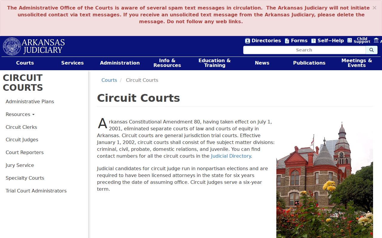
The captured state page helps route the case. Search ARCourts is an index lead, while the Crittenden Circuit Clerk holds the authoritative local file and certified copies. Ask for the docket sheet first so only relevant public pleadings need to be copied.
Obituaries can add relatives, dates, and former places. Confirm those clues with probate, death indexes, or deeds. Do not contact grieving relatives through a false pretext. The official heir trail is useful for family and estate research only when identities and dates match independently.
Permit Dates Are Not Occupancy
West Memphis Planning files can date construction, remodeling, and final status. A focused request may seek permit number, site address, owner, applicant, contractor, work type, valuation, issue date, final date, and status. The city page links an application and payment portal, but no public permit-history search or archive start was verified.
Use permit dates to explain changes visible on a parcel or map. Do not count an applicant or contractor as a prior resident. The City Engineer's elevation certificates at 203 S. Avalon can add building and flood context in this Mississippi River city, but they also describe a site rather than its full household. When the web lacks history, call Planning or request existing address records under Arkansas FOIA with a clear date range.
Reconcile West Memphis Past Residents
A sound address history keeps one row per claim. Record the source, date, name, role, address form, parcel or instrument key, and any conflict. One person may appear as grantee, owner, permit applicant, directory occupant, census householder, decedent, or heir. Those roles are not interchangeable.
Search initials, full names, married names, and spelling variants. Compare dates before joining a record. West Memphis also sits across the river from Memphis, Tennessee, which creates a second geography trap. A regional newspaper or relative may appear in Shelby County, while the West Memphis land and court record remains in Crittenden County, Arkansas. Search both contexts when evidence calls for it, but do not merge them solely because the place names resemble each other.
| Evidence | Safe conclusion |
|---|---|
| Recorded deed | A named party conveyed or received the stated land interest on the record date |
| Parcel card | The assessor listed an owner and site for that roll date |
| Directory entry | The publisher associated the listed person or business with the address in that edition |
| Census schedule | The enumerator recorded the household at that time |
| Permit | A named party took part in recorded work at the site |
West Memphis Previous Residents Limits
Previous residents research contains real gaps. A directory may omit a household. A census can miss or misspell a name. The deed chain proves transfers, not constant residence. A probate file may be restricted in part, and current vital certificates have statutory access rules. Street-number history, a full local directory shelf, the deed portal cutoff, a permit archive start, and an official West Memphis house-history guide were not verified.
Use the trail for family history, property history, heir research, or personal curiosity. Previous residents may still be living, so stop at the evidence. Do not publish a protected location, use an obituary to deceive a family, or pursue a living prior occupant who does not want contact.
Lawful use. West Memphis past-resident records support careful historical research. Arkansas law does not permit stalking, harassment, threats, or targeted misuse.